MARS
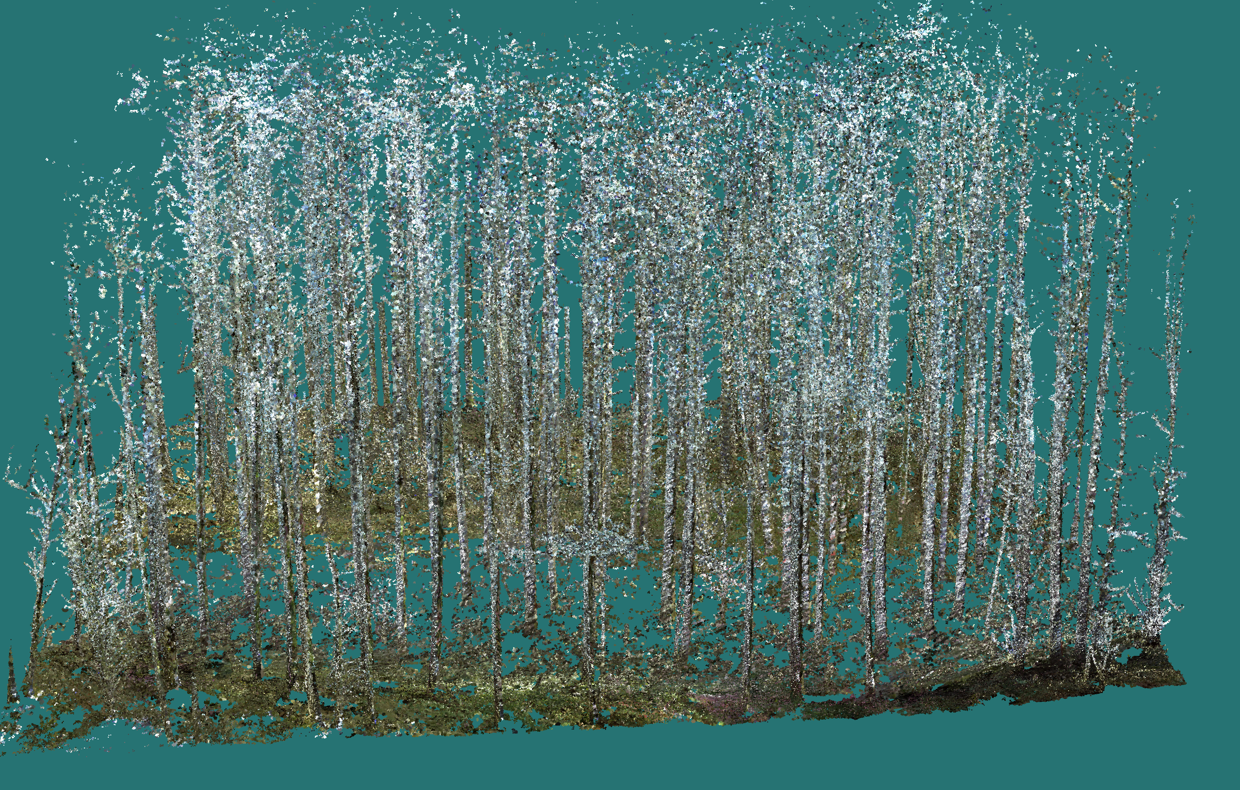
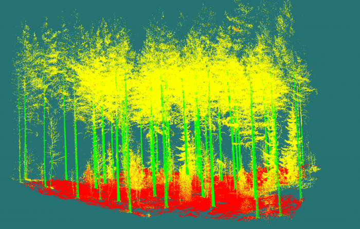
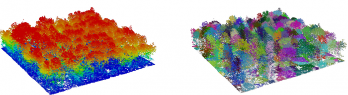
Welcome to Forest Geomatics at Oregon State University, the Management, Algorithms, and Remote Sensing Lab, MARS. We are a group of people interested in active sustainable management of forest, by using various modeling and remote sensing techniques to acquire relevant information for the decision making process. Once raw data is collected, we develop, improve, or test existing algorithms to supply the needed data to develop management plans or to forecast forest dynamics. Our focus is in forest modeling, understood in a broad sense, using modern techniques, such as computer vision, fractals, or abstract algebra. The main instruments used for data acquisition are handheld lidar units and unnamed aerial systems equipped with lidar, RGB, and multispectral sensors.